Fusing Optical and Radar Data for Delineating Urban Damage Destruction
This study evaluates the capacity of medium-resolution optical and radar satellite imagery (Sentinel-1 and Sentinel-2) to detect and delineate urban destruct...
This study evaluates the capacity of medium-resolution optical and radar satellite imagery (Sentinel-1 and Sentinel-2) to detect and delineate urban destruct...
This study explores the potential of the Segment Anything Model (SAM) for automated dune detection in satellite imagery, focusing on the Atlantic Sahara regi...
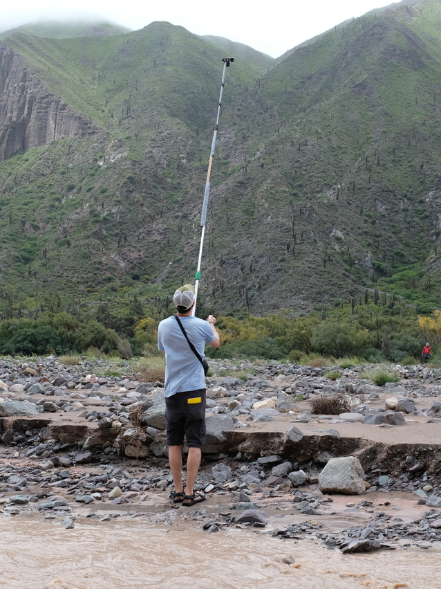
UAV photogrammetry enables detailed monitoring of landslide evolution, but comparing multi-temporal data remains challenging. Using the Rosas landslide in Co...
Booming lithium demand is driving rapid brine extraction across the Andean salars—but its impact on ground stability remains largely unknown. Using a decade ...
Workshop organized and led by Dr Taylor Smith (University of Potsdam, Germany), Dr Bodo Bookhagen (University of Potsdam, Germany) and Dr Shakil Regmi (South...
This is some sample content that goes here with Markdown formatting.
This is some sample content that goes here with Markdown formatting.
This is some sample content that goes here with Markdown formatting. Left aligned with type="left"
This is some sample content that goes here with Markdown formatting. Right aligned with type="right"
This is some sample content that goes here with Markdown formatting. Centered with type="center"


